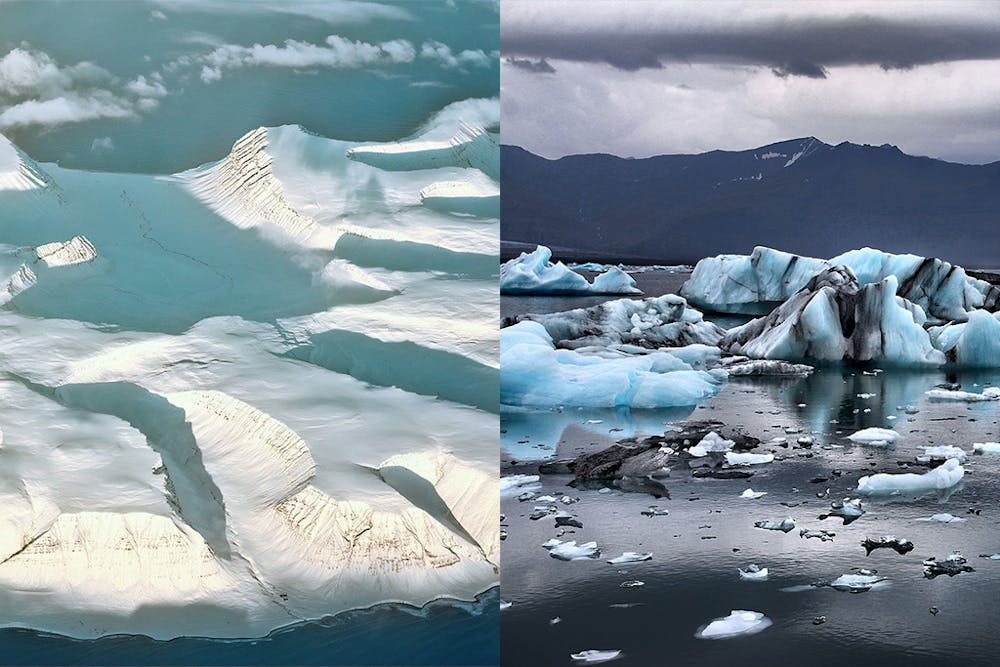
The ice sheets in Greenland and Antarctica comprise more than 90% of Earth’s freshwater ice. When it comes to glaciology, global warming is often touted as the most important issue. But according to some scientists, there is another issue that is just as important: geothermal heat flux (GHF).
GHF refers to the amount of heat that originates from the Earth’s interior and transfers to the surface. The rocky layer of bedrock sediment at the surface comes in contact with basal layer ice. Heat emanates from the sediment to the basal ice layer, which in turn affects the temperature of ice at the base layer.
GHF is hard to visualize because the basal ice layer is difficult to access. For example, ice in areas like Antarctica is thousands of meters thick — approximately two kilometers.
Things get even more complicated when scientists begin describing the causality between GHF and ice warming. When GHF heats up the bedrock, it can cause the basal ice layer to become less viscous and more lubricated. This poses a problem because much of the ice in Greenland and Antarctica lies below sea level, meaning that water can seep into these lubricated areas and wear away the base of the ice. When water seeps in and becomes heated by GHF, it makes the base layer unstable and prone to sliding.
The theory which presents this phenomenon is known as the marine ice-sheet instability (MISI) hypothesis. The hypothesis may help scientists explain the rise of sea level in glacial regions in the future.
In an email to The News-Letter, William Colgan, a glaciologist at the Geological Survey of Denmark and Greenland, discussed the significance of this problem.
“People have said that one of the sleeping giants of climate change and sea level rise is understanding how and when these below-sea-level portions of Greenland and Antarctica might be activated and start sliding faster in the ocean because that would be pretty hard to recover from,” he wrote.
While scientists are aware of the causal impacts of GHF on the ice, they have trouble tracking its influence empirically. Until recently, scientists have only theorized values for GHF. This has resulted in different estimates from various sources.
However, despite these challenges, scientists are making progress in accurately mapping GHF. In their recent article “Topographic Correction of Geothermal Heat Flux in Greenland and Antarctica,” Colgan and his colleagues described their improved method of geothermal mapping. Professor Harihar Rajaram and postdoctoral researcher Ryan Haagenson, two researchers from the Department of Environmental Health and Engineering at Hopkins, developed the empirical model for mapping geothermal flux.
Developing this model was no easy feat. After calculating the average of datasets from previous studies, the team referred to principles such as topographic relief and spatial variability. The topographic relief of a region is the difference between the lowest elevation and the highest elevation in that area. The topographic relief is used to quantify the degree of topographical change within a region. Measures of spatial variability help researchers assess topographical differences between regions. The team then inputted that data into equations to calculate GHF in Greenland and Antarctica. In total, the study took two years to complete.
In an email to The News-Letter, Rajaram described the uniqueness of their model. Unlike other models, theirs accounts for topography.
“Geothermal heat flux comes up from the deep earth more or less uniformly, then it gets transformed by topography — it will concentrate in valleys, where the ground surface is deeper (essentially taking the path of less resistance) and diminish at ridges,” he wrote. “So, the improved method of mapping geothermal flux basically accounts for local topography, as determined by bed topography maps for Greenland and Antarctica.”
This improved method of geothermal mapping is an advancement for glaciologists. However, there remains work to be done. The ice sheets in Greenland and Antarctica show no signs of refreezing, and the empirical model — according to Colgan — could still use some improvement. However, Rajaram and other scientists like him remain hopeful about the future of ice.
“There have been new scientific discoveries, and increased understanding evident from research in the last two decades,” Rajaram wrote. “We will be well informed for the future and can plan with foresight. Much of the anticipated climate change is bound to occur and there is not much we can do to reverse it, but at least we can adapt.”